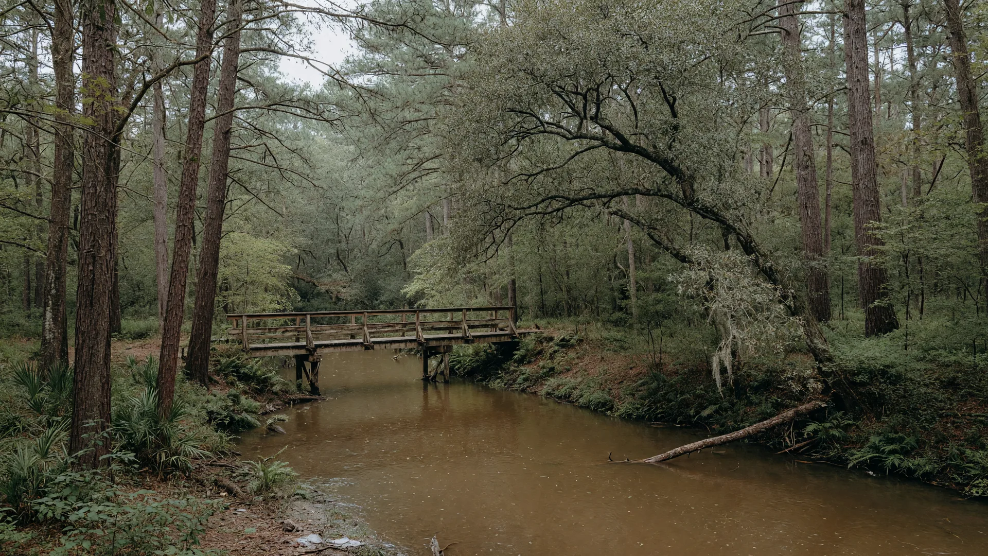
Flood risk is the first question most buyers ask about Kingwood, and it deserves a straight answer. Kingwood sits between the West Fork of the San Jacinto River, Lake Houston, and a web of creeks, and Hurricane Harvey in 2017 flooded more homes here than in any other upper Lake Houston community. This post covers what the flood maps actually say, what has changed since Harvey, and how to check a specific address like 4211 Brook Shadow Dr before you make an offer.
Why Kingwood floods: rivers, a reservoir, and creeks
The geography explains the risk better than any headline. Kingwood is bounded by the West Fork of the San Jacinto River on the north and Lake Houston on the east, with Bens Branch and Taylor Gully creeks threading through the villages. Flooding in the area is driven by river overflow, Lake Houston backwater, and creek overflow, sometimes all three in the same storm.
One detail matters more than most: Lake Houston and Lake Conroe are drinking-water reservoirs, not flood-control dams. In extreme storms they release water downstream to protect the dams themselves, which is exactly what happened during Harvey. And the greenbelts that make Kingwood beautiful are the old creek bottoms the planners deliberately chose not to build on, which is why they are the first places to flood and the last to drain.
What Hurricane Harvey actually did to Kingwood
Hurricane Harvey made landfall in August 2017 and stalled over the Houston area for days. Kingwood was the hardest-hit community in the upper Lake Houston region. Harris County damage data counts 4,484 homes flooded along the West Fork of the San Jacinto, 3,652 of them in Kingwood proper (with the rest in Humble and Atascocita), and 1,290 homes flooded along the East Fork, 1,162 of them in Kingwood.
The statistic that still shapes buyer advice is the one about location: many of those homes sat outside the mapped flood zones. Harvey was a reminder that the FEMA map is a starting point, not a guarantee, and that a home's flood history can matter more than its zone letter.
Flood zones in Kingwood: AE, A, and shaded X
Kingwood contains a mix of FEMA designations, and lenders use the same map you can pull yourself at the FEMA Flood Map Service Center. The letters you will see:
- Zone AE: high-risk area near rivers and bayous with detailed elevation data. Flood insurance is required for federally backed mortgages.
- Zone A: high-risk area without detailed elevation data. The same insurance requirement applies.
- Shaded Zone X: moderate-risk area with a 0.2% annual chance of flooding. Insurance is usually optional here.
One 2026 wrinkle: FEMA released new draft flood maps for Harris County, including Kingwood, in February 2026. Designations can change when maps are updated, so check the current map for the exact address rather than relying on memory or a neighbor's story.
Flood insurance: required or not, and why it matters
If you finance a home in a Special Flood Hazard Area (Zone AE or A) with a federally backed mortgage, flood insurance is required. Outside the high-risk zones it is optional, but Harvey flooded thousands of Kingwood homes that sat outside the mapped zones, so many buyers choose to carry coverage anyway. It is one of the few insurance decisions where the premium is small relative to the worst case.
In practice, the seller's disclosure and the property's claim history tell you more than the zone letter alone. If an elevation certificate exists for the home, it can help you shop rates accurately. Your lender, your insurance agent, and your real estate advisor should all be in the same conversation before you commit, and the cost-of-living breakdown on this site includes how insurance fits the monthly math.
What has changed since Harvey: the mitigation list
The honest headline is that Kingwood is not waiting on hope. Voters approved a $2.5 billion Harris County flood bond in 2018, and a long list of Kingwood-area projects has moved through design and, in some cases, construction since. The ones buyers ask about most:
- Lake Houston Dam spillway gates: the 1953 dam is getting 11 new tainter gates to add outflow capacity, backed by a roughly $47.1 million FEMA grant plus $50 million in state funding. As of September 2026, design was about 90% complete.
- West Fork dredging: the City of Houston's dredging program, launched in December 2024, targeted about 876,672 cubic yards of sediment in the West Fork, and the restoration of Lake Houston to pre-Harvey depth was reported wrapped up in 2025. A new Lake Houston Dredging and Maintenance District, created by state law in 2025, now funds ongoing maintenance.
- Bens Branch clean-outs: sediment removal began in 2019 with about 76,285 cubic yards taken out, followed by additional phases through 2021 and more announced in 2025.
- Kingwood Diversion Ditch: the ditch that drains the western third of Kingwood and blocked during Harvey is slated for widening plus a new outfall to the West Fork, a project that would lift Bens Branch from roughly a 2-year to a 100-year level of service.
- Taylor Gully and Woodridge detention: a $56.9 million stormwater detention basin and channel project was approved by Harris County and the City of Houston in spring 2026.
A caveat worth keeping: watchdog reporting on the region (Reduce Flooding) has cautioned that as of 2025 many projects were still in design or early construction, and that some project status maps overstated progress. The direction is clear, but completion takes years, so buyers should track the projects rather than assume any of them are done.
How to check a specific address like 4211 Brook Shadow Dr
The process for any Kingwood address is the same, and it takes about an hour:
- Pull the current FEMA flood map for the exact address at the Flood Map Service Center.
- Read the seller's disclosure notice, which in Texas covers prior flooding and water damage.
- Ask whether an elevation certificate exists and whether the property has a claim history.
- Walk the street in person: curb heights, drainage ditches, and where the greenbelt sits relative to the house all tell a story the map cannot.
For this listing specifically, 4211 Brook Shadow Dr sits in Greentree Village in the south end of Kingwood, a 1991 two-story with the pool and heated spa added in 2019. Like every address, its zone should be verified on the current map rather than assumed, and its disclosure and history should be reviewed before an offer. The 2026 market post shows how homes in this price range are moving, and the history post explains why the creek bottoms became greenbelts in the first place.
The buyer's takeaway
Flood risk in Kingwood is real, it is mapped, and it is being actively worked on. The responsible way to buy here is not to avoid the conversation but to run it properly: verify the address on the current map, read the disclosure, decide on insurance with your lender and agent, and track the mitigation projects that affect your street.
The practical takeaway: a home like 4211 Brook Shadow Dr deserves the same flood due diligence as any Kingwood address, and Diane can walk you through the map, the disclosure, and the insurance math in one sitting. Book a chat and bring your questions, so you can decide with facts instead of fear.

Diane Hibbs
Strategic Real Estate Advisor · eXp Realty
Strategic real estate advisor, helping Northeast Houston buyers and sellers think through major housing decisions with clarity.